John and Monica Chapman spend their lives hiking all over this great land and writing guide books so the rest of us can follow them. Through years of refinement their range of books offer insightful observations and background on numerous trails across Australia. John and Monica’s books are well laid-out, colourfully illustrated and provide extensive information…
Hema’s iconic large map of Australia is ideal as a trip planning tool and travel companion. Marked on the map are localities, the major road network, distances and major national parks. The map also shows localities, the major road network, distances and major national parks. The visual appeal makes it perfect as a decorative map…
This is one of a series of excellent guide books from the Confraternity of Saint James, the pre-eminent, London-based organisation supporting pilgrim activities in Europe. Their guides are an inexpensive option for walkers heading to Santiago de Compostela on any of the many routes across Spain, France and beyond. Each book provides directions and details…
It’s no good having a map if it’s all soggy – contour lines tend to blur, transforming gentle slopes into towering cliffs. Avoid such topographical catastrophes by protecting your map in this practical map case. The welded design will protect paper from water and dust, and the TPU (thermoplastic polyurethane) is UV resistant and folds…
These maps highlight the walking tracks and features tourist information along with general topographic detail and is essential for walkers. The notes on the reverse side introduce visitors to the vegetation, land forms, animals, history of the area, bushwalking tips, safety essentials and booking requirements. Scale: 1:100,000.
South-East of Tasmania is one of Australia’s most beautiful regions, and with its stunning scenery and iconic walking tracks it is the perfect place to experience and enjoy on foot. This guide contains a diverse range of walks to explore, including strolls around historic villages, hikes through pristine bushland and rambles along the sparkling, unspoiled…
Produced by the Department of Lands, this six map kit covers the entire length of the Great North Walk. With details not featured on standard topo maps like convenient camp spots, train stops, drinking water, points of interest and more. It also has a load on insightful info on the back of the maps so…
John Chapman and his co-authors spend their lives hiking all over this great land and writing guide books so the rest of us can follow them. Through years of refinement John & Co’s books are well laid-out and colourfully illustrated that detail routes, background, safety, trip planning and further reading.
Printed on waterproof tyvek this tough map covers the Snowy Mountains Main Range on one side at 1:25,000 & Guthega to Round Mountain including Mt Jagungal on the other at 1:50,000 with amazing detailed representation with 10m contour intervals. Also with detailed insets of Watsons Crags, Dead Horse Gap, Blue Lk, Lady Northcote Canyon & marginal…
Six Foot Track Map, Informative map covering the 46km long trail from Katoomba to Jenolan Caves. Shows intermediate distances, campsites, facilities and extensive track notes. A NSW Government publication. This map can be laminated and refolded for extra durability in the field.
John Chapman and his co-authors spend their lives hiking all over this great land and writing guide books so the rest of us can follow them. Through years of refinement John & Co’s books are well laid-out and colourfully illustrated that detail routes, background, safety, trip planning and further reading.
















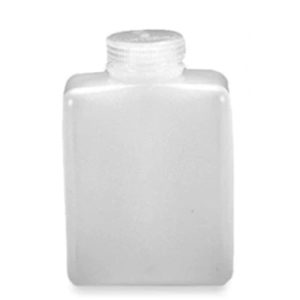 Nalgene Wide Mouth Rectangular Container
 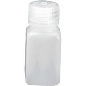 Nalgene Wide Mouth Square Container
  Lightweight Evac Compression Dry Back Waterproof