Hema’s map of the Northern Territory that has camping and rest areas, 24hour fuel and points of interest. On the reverse are through road maps of Darwin and Alice Springs, and a map of the greater Darwin region. For trip planning, there is a national park matrix and contact details for information centres.
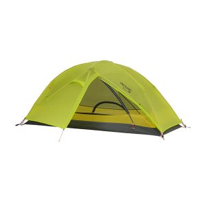
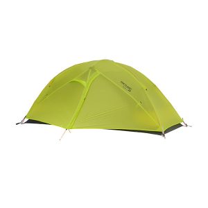
One Planet’s Goondie 1 Mesh is designed for the solo hiker who wants a secure shelter with a stable cross-pole structure. This tent gives excellent ventilation while maintaining comfort and practicality, and has enviable interior height so you can sit up with a coffee, read or get dressed. There is a single door for entry, with…
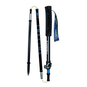
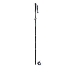
Description A light and foldable pole from Masters for Trail Running and Ultra-trail running. It has a new black Falco grip and ultra light and soft strap. This pole is has a carbide tip and anodized aluminum alloy for a great grip on every kind of terrain. Push/Pull system assures compactness when closed and speed both…
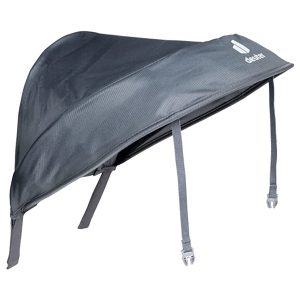
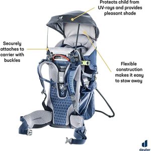
The Deuter Kid Comfort sunroof can be easily stowed in a pocket of the child carrier – and quickly assembled when the sun shines. Suitable for Kid Comfort Active, Kid Comfort Active SL and Kid Comfort.
These are the official 1:25 000 scale topographical maps from the NSW government Land & Property Division, covering the most outstanding areas of the state on a well-produced, reversible, fold-out map perfect for hikers.
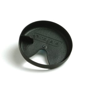
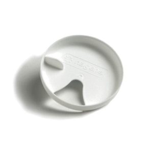
So, you’ve got your 1L or 1.5L Nalgene bottle and you’re delighted that you can throw in ice cubes and clean it easily, but find that drinking from it makes your face and shirt all wet In short, you have a drinking problem. Fear not. Simply slip in this widget and sip to your shirt’s…
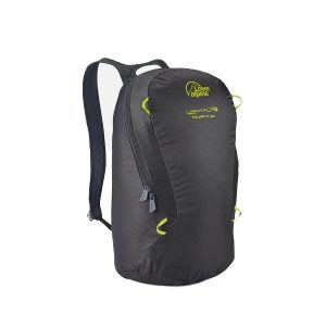
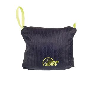
The Lowe Alpine Stuff It 22L is a lightweight pack which folds into an internal pocket. It’s super light weight packable day sack that takes up next to no space at all, giving you the freedom to be able to dump your big pack for the day and only carry the essentials. The super lightweight,…
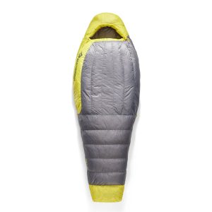
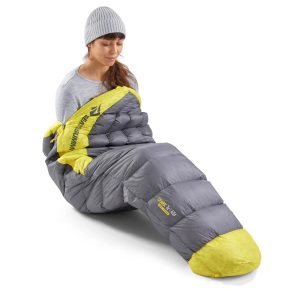
Built for women who want minimal weight but maximum comfort in their adventures, the Women’s Spark lineup demonstrates Sea to Summit’s 100% commitment to building a sleeping bag that’s made perfect for you. Women’s specific shape and body mapping result in warmth and comfort without the weight. RDS-certified 850+ fillpower goose down treated with a…
Guidebook to the GR10, a 955km trek across the French Pyrenees from Hendaye on the Atlantic Coast to the Mediterranean coast at Banyuls-sur-Mer. Described in 55-day stages of 7-27km, the route can be completed in its entirety, usually in around 45 days, or in shorter sections using the bus and rail links found throughout the…
Six Foot Track Map, Informative map covering the 46km long trail from Katoomba to Jenolan Caves. Shows intermediate distances, campsites, facilities and extensive track notes. A NSW Government publication. This map can be laminated and refolded for extra durability in the field.
John Chapman and his co-authors spend their lives hiking all over this great land and writing guide books so the rest of us can follow them. Through years of refinement John & Co’s books are well laid-out and colourfully illustrated that detail routes, background, safety, trip planning and further reading.
These maps highlight the walking tracks and features tourist information along with general topographic detail and is essential for walkers. The notes on the reverse side introduce visitors to the vegetation, land forms, animals, history of the area, bushwalking tips, safety essentials and booking requirements. Scale: 1:100,000.








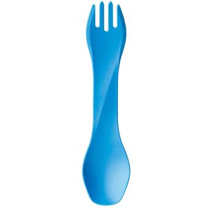 GOBITES UNO
  On The Milford Track