Hema’s regional map of Mid West Western Australia covers from Cape Range National Park south to Mandurah and as far as Kalgoorlie at a scale of 1:1,250,000 that has camping areas, national parks, fuel supplies and facility symbols marked on the map.
From fast-paced day hikes to ultralight summer bivis, this agile Lowe Alpine 36L hiking pack is breathable, super streamlined, and perfect for when you’re covering ground with minimalist kit. Its ventilated AirZone back system is built with a knitted construction, giving you stability and flex where you need it and encouraging airflow, with a convection…
The AC Lite 24 comfortable day pack features the ultra-light Deuter Aircomfort back system with maximum ventilation and offers an excellent comfort-to-weight ratio. It has a spacious main compartment and dedicated cell phone pocket, stretch side pockets, lid compartments and gear loops to strap poles and a range of gear to the outside of the…
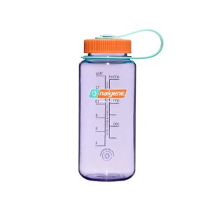
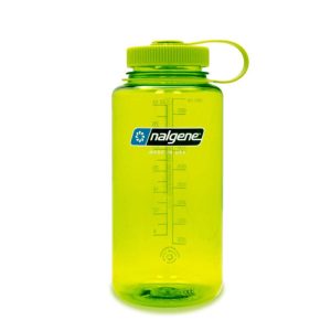
Nalgene Wide Mouth Sustain Bottles, 500ml, are expertly crafted threads for leak-proof hydration and a wide mouth that’s perfect for ice cubes or fruit infusions. Proven in the elements and ready to withstand even the most rugged conditions. A pioneer, for pioneers.
Six Foot Track Map, Informative map covering the 46km long trail from Katoomba to Jenolan Caves. Shows intermediate distances, campsites, facilities and extensive track notes. A NSW Government publication. This map can be laminated and refolded for extra durability in the field.
John Chapman and his co-authors spend their lives hiking all over this great land and writing guide books so the rest of us can follow them. Through years of refinement John & Co’s books are well laid-out and colourfully illustrated that detail routes, background, safety, trip planning and further reading.
This is one of a series of excellent guide books from the Cicerone. Their guides are an inexpensive option for hikers heading all over the world looking to explore the world’s best walks and treks, mountains and cycle routes. This book details walking the GR20 through Corsica’s high mountains. A challenging trail between Calenzana and Conca that…
Walking & Cycling Canberra’s Centenary Trail introduces the best day walks and cycles for visitors and residents alike, ranging from leisurely urban strolls to the more rugged tracks deep in the bush. Detailed descriptions and maps help the reader explore the parks, bushland, lakes, rivers and most interesting urban areas along the way. The book…
The Centrum 20 by Exped is a versatile large entry commuter pack. The simple, roll-top main compartment with thermo-formed back panel is made of durable and water-repellent polyester and is environmentally-friendly bluesign-certified. The Centrum 20 has a padded laptop compartment and pouches for umbrellas, water bottles or the daily newspaper are placed low on each side.
Formidable, yet minimal, the Osprey Sportlite 20 is a great day hike backpack for the fast and light crowd who know what they’re getting into and only pack what they need. Panel-loading design keeps your packing straightforward and a minimal silhouette eliminates any need to fuss around. Plus, its AirScape backpanel and suspension system elevates…
This touring map traverses Australia from Melbourne to Adelaide (1:900,000) and features an inset map of the Great Ocean Road (1:450,000). The latter map pinpoints significant locations along the route with tourist information attached and is accompanied by other useful information to illuminate the journey. Through-road maps of Melbourne to Adelaide are also included.
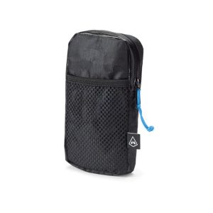
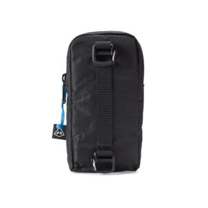
The shoulder pocket for Hyperlite backpacks is a great way to keep the tools you need for a successful day within reach. It’s roomy enough to fit most modern cell phones and some GPS devices. Constructed with Dyneema Composite Fabrics, it’s a rugged and slim accessory that won’t be a distraction or hamper your freedom of…


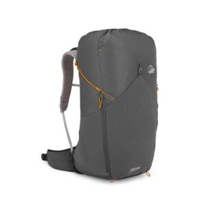
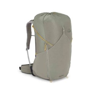
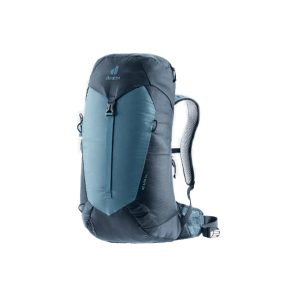
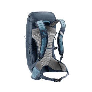





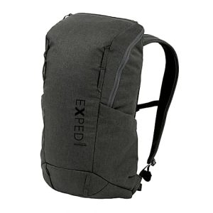
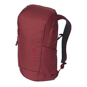
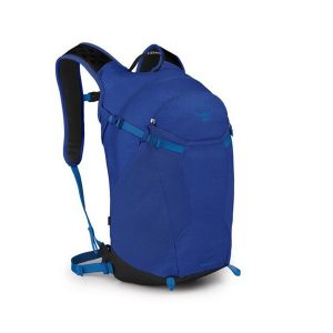
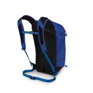


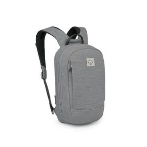 Arcane Small Day Pack 10L
 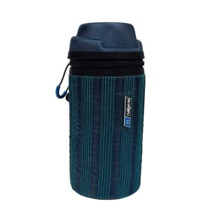 Insulated Nalgene Bottle Sleeve
 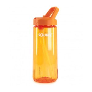 ACT Tritan Bottle with Straw