These Tasmanian maps are recommended for regional planners and visitors intending to travel a little off the beaten track. The map is popular with drivers, cyclists and people wanting a regional overview of an area. The maps are available in folded and flat form and may be joined together to create an impressive wall map.
There’s probably no more enjoyable way to learn about English history, the landscape, the folklore and its people, than to embark upon the classic English Coast to Coast Walk, first developed by the great British fell-walker, Alfred Wainwright. Join us as we make our way along this classic walk, which starts from St Bees in…
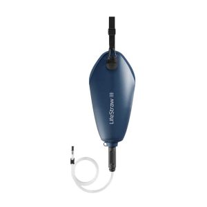
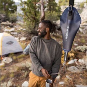
Lifesystem’s Gravity Water Filter System 3L is the simple, lightweight and compactible option for back-country camping and backpacking. The optimized filtration cartridge boasts a high flow rate and ability to remove sand and silt without clogging. The water storage bag is made from premium materials for extra durability so it can stand up to the…
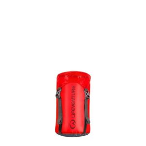
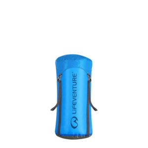
Made from a high-tenacity Cordura ripstop nylon fabric, these 5litre, 10 litre and 15 litre compression sacks are strong and durable. The siliconised coating on the outside of the fabric and PU coating on the inside provides protection from the elements (seams are not taped so not fully waterproof).
Cicerone’s comprehensive guidebook and map book to walking the 784km Camino Frances from St Jean-Pied-de-Port in southern France to Santiago de Compostela in Spain, including an additional route to Finisterre. Split into 6 sections and 36 customisable stages, the guide lists over 500 pilgrim hostels. The map book covers the entire route, which can be…
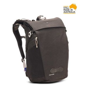
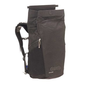
The Little Bourke has been designed as a versatile urban pack, whether your commuting, travelling or out running amok. With a 30 litre capacity and constructed from durable water tight canvas, it’s got plenty of room for all the essentials and it’ll keep everything weather safe no matter what you’re doing. It includes internal insert options,…
Six Foot Track Map, Informative map covering the 46km long trail from Katoomba to Jenolan Caves. Shows intermediate distances, campsites, facilities and extensive track notes. A NSW Government publication. This map can be laminated and refolded for extra durability in the field.
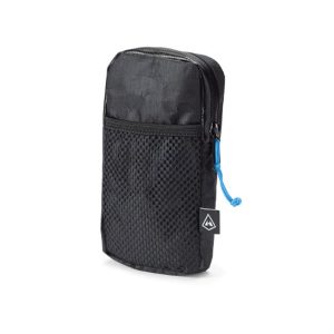
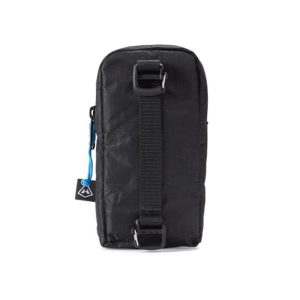
The shoulder pocket for Hyperlite backpacks is a great way to keep the tools you need for a successful day within reach. It’s roomy enough to fit most modern cell phones and some GPS devices. Constructed with Dyneema Composite Fabrics, it’s a rugged and slim accessory that won’t be a distraction or hamper your freedom of…
Hema’s map of the Northern Territory that has camping and rest areas, 24hour fuel and points of interest. On the reverse are through road maps of Darwin and Alice Springs, and a map of the greater Darwin region. For trip planning, there is a national park matrix and contact details for information centres.
This softcover coffee-table style Guidebook reveals the many hidden secrets of the Blue Mountains. Misty, snow dusted landscapes, mysterious amphitheatres, cliff-line waterfalls & waterholes, myriad bushwalking tracks leading to unexpected vistas, cliff-top sunrise brekky spots, plush Hatted restaurants & eclectic coffee shops and the extremist of extreme sports.Within this beautifully designed Guidebook, you’ll find our…
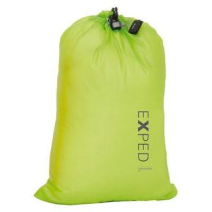
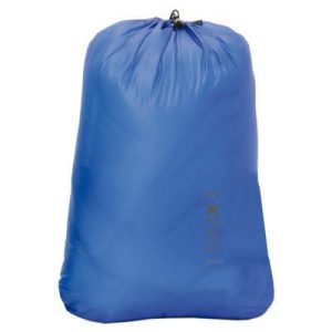
Improve your compartmentality further with the ultra-lightweight Cord Drybag UL from Swiss packing legends Exped. Strong and superlight yet easy to access for those not requiring full water-resistance, these are ideal for separating dirty laundry, wet clothing, underwear or sugary goodies. Starting at just 8 grams, what’s to lose
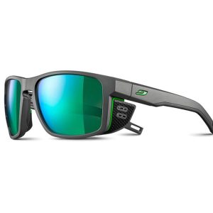
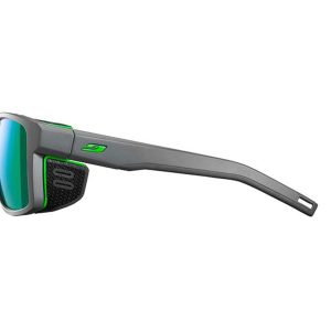
Julbo have been making the world’s best outdoor eyewear since 1888 and, developed specifically for the snow and ice of high mountains and glaciers, the Shield is a stylish frame for any outdoor enthusiast. From mountaineering to climbing to riding these frames are in there element and perform with the best of them. The removable side shields…









 Silva Pocket Compass