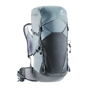
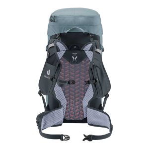
Lightweight, fast and environmentally conscious, this pack is designed for the trail enthusiast. Featuring Deuter’s Lite back system, breathable vest-style perforated shoulder straps, flexible hip fins, and a precision-adjustable sternum strap, it offers both comfort and performance. Crafted from 100% recycled, bluesign certified fabric, it’s as eco-friendly as it is functional. Perfect for fast-paced hikes…
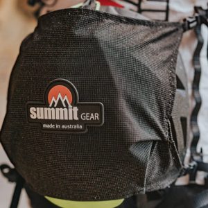
Designed specifically for use with the Summit Gear Ultralight Packs, the Summit Gear Ultralight Helmet Net is an ideal accessory for carrying your helmet on your pack. It has toggles to attach to the accessory points on the Ultralight Packs, and straps to adjust the tension to keep your helmet in place. On the Solitary…
Silva’s Expedition is the front-runner in their series of world-leading compasses.The base plate model has four different map-measuring scales for ultimate versatility, a screw for built-in declination adjustment and a rugged Dryflex housing. This is the perfect mid-range compass for heavy expeditions. All Silva compasses include a pamphlet explaining their 1-2-3 map-reading system which demystifies…
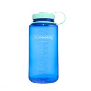
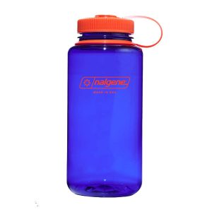
Nalgene Wide Mouth Sustain Bottles, 1 litre are expertly crafted threads for leak-proof hydration and a wide mouth that’s perfect for ice cubes or fruit infusions. Proven in the elements and ready to withstand even the most rugged conditions. A pioneer, for pioneers.
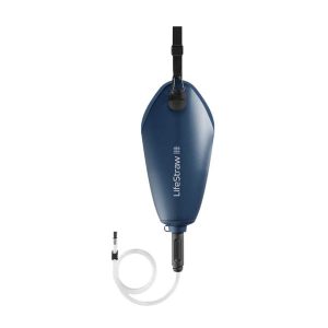
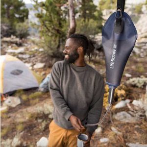
Lifesystem’s Gravity Water Filter System 3L is the simple, lightweight and compactible option for back-country camping and backpacking. The optimized filtration cartridge boasts a high flow rate and ability to remove sand and silt without clogging. The water storage bag is made from premium materials for extra durability so it can stand up to the…
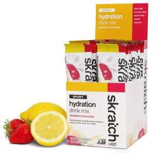
Skratch Labs Sport Hydration Drink Mix was created for a simple purpose – to replace the electrolytes lost in sweat and to provide a little bit of energy when working out, without offending your palate or gut.
A compact map of Queensland (QLD) at a scale of 1:2,500,000 from Hema, for touring throughout the state which features highways, major roads and minor roads. Marked on the map are national parks, camping areas, caravan parks, rest areas, points of interest and 24-hour fuel accompanied by a distance grid and an index.
Have you ever thought I just want a map of NSW, the whole state, on one page for my wall to plan my trips! Well, you’ve found it! The reverse side has a more detailed view of the coast from Batemans Bay up to Forster, including campsites and lookouts for Barrington Tops, Wollemi National Park,…
This is one of a series of excellent guide books from the Confraternity of Saint James, the pre-eminent, London-based organisation supporting pilgrim activities in Europe. Their guides are an inexpensive option for walkers heading to Santiago de Compostela on any of the many routes across Spain, France and beyond. Each book provides directions and details…
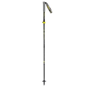
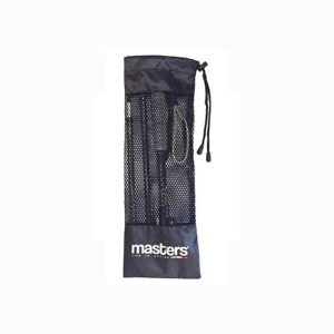
While Masters have a range of sturdy telescopic trekking poles, their trail running models are in the Z-Pole style, shorter and lighter by design. Also perfect for lightweight hikers, The Trecime Aluminium’s 16mm diameter shaft is strong enough for use with a day pack on tricky terrain and the collapsed length of just 35cm will…






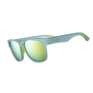 The BFG Sunglasses