The design of the Tasmap 1:50 000 Map Series provides a clear and accurate portrayal of topographic information, with symbols and map content giving enhanced depiction of buildings, hill shading and a simplified classification of vegetation.
The Exped Seal Sleeve is a range of simple and compact cases that are fully 100% Waterproof and touchscreen compatible. If your next adventure might require you to keep your phone, tablet, wallet, map, money or documents from ending up in the drink – This is the product. Exped has developed a super strong zip…
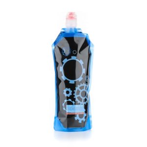
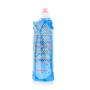
For a different twist on hydration check out these Source soft bottles – flexible water carriers that fold flat when not needed and reduce in volume as you drink. The BPA-free polyurethane film hold no residual plasticky taste and can handle boiling water or being frozen. The sports cap has a high flow rate of…
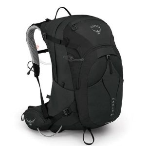
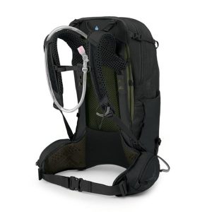
A premium hydration daypack featuring an all-new reservoir and bite valve, the Manta 24L offers a men’s specific stable, highly ventilated suspension design for outstanding performance on any hike. Torso-adjustable and fully featured, this pack inspires confidence and matches the importance of your outdoor pursuits. Features
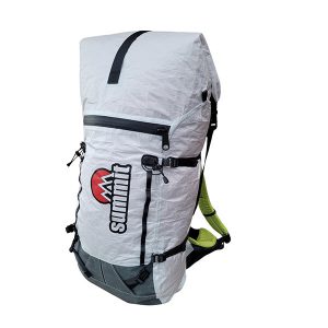
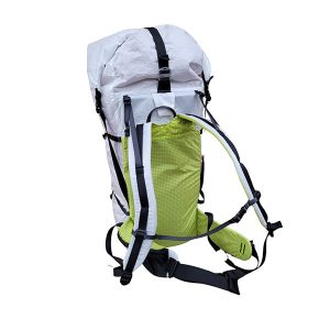
Named after one of the most iconic features in the Blue Mountains, the Summit Gear Solitary 55L ultralight pack combines the trifecta of ultralight, durability and comfort.
This touring map traverses Australia from Melbourne to Adelaide (1:900,000) and features an inset map of the Great Ocean Road (1:450,000). The latter map pinpoints significant locations along the route with tourist information attached and is accompanied by other useful information to illuminate the journey. Through-road maps of Melbourne to Adelaide are also included.
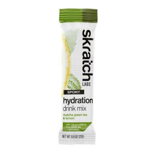
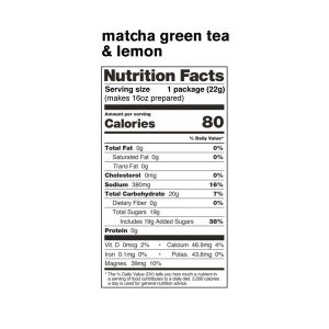
Skratch Labs Sport Hydration Drink Mix Matcha Green Tea was created for a simple purpose – to replace the electrolytes lost in sweat and to provide a little bit of energy when working out, without offending your palate or gut.
Six Foot Track Map, Informative map covering the 46km long trail from Katoomba to Jenolan Caves. Shows intermediate distances, campsites, facilities and extensive track notes. A NSW Government publication. This map can be laminated and refolded for extra durability in the field.
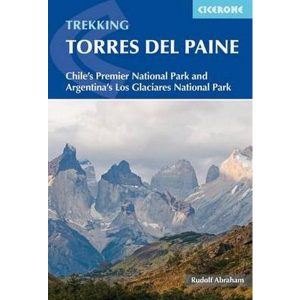
This excellent Cicerone guidebook to walking and trekking in Chile’s Torres del Paine National Park and Argentina’s Los Glaciares National Park, areas of Patagonia. Eight different walks and treks are described, including the 10-11 day Torres del Paine Circuit, one of the world’s great treks, as well as the shorter Half Circuit (4-5 days). The guide…
Cicerone’s inspirational guidebook to 20 treks along the 2400km Himalayan chain. Includes classics such as the treks to Everest and K2 base camps and the Annapurna Circuit. Also epic glacier treks, ultra-long expedition treks and sacred treks. This is a book to inspire and excite, guaranteed to entice any with an adventurous spirit and love of…
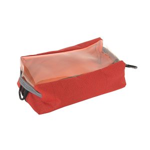
The One Planet Bath Bag now has a window top and is possibly the toughest little bag this side of the equator. It’s perfectly at home in your rucksack, kicking around in the car or your Wheelie luggage, and great for storing toiletries, first aid, cables and chargers. This robust, versatile companion is useful for…
John Chapman and his co-authors spend their lives hiking all over this great land and writing guide books so the rest of us can follow them. Through years of refinement John & Co’s books are well laid-out and colourfully illustrated that detail routes, background, safety, trip planning and further reading.










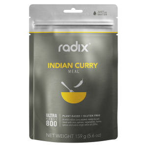 Plant Based - Indian Curry - Ultra 800 Meal
 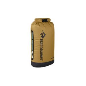 Big River Dry Bag 20L