Cicerone guidebook for walking the Tour of Mont Blanc, one of the world’s classic treks. The 170km TMB route typically takes 11 days and is described in both anti-clockwise and clockwise directions, with optional variants. Includes information about refuges and facilities and a separate booklet showing the entire route on IGN 1:25,000 maps.
These maps highlight the walking tracks and features tourist information along with general topographic detail and is essential for walkers. The notes on the reverse side introduce visitors to the vegetation, land forms, animals, history of the area, bushwalking tips, safety essentials and booking requirements. Scale: 1:100,000.
John and Monica Chapman spend their lives hiking all over this great land and writing guide books so the rest of us can follow them. Through years of refinement their range of books offer insightful observations and background on numerous trails across Australia. John and Monica’s books are well laid-out, colourfully illustrated and provide extensive information…
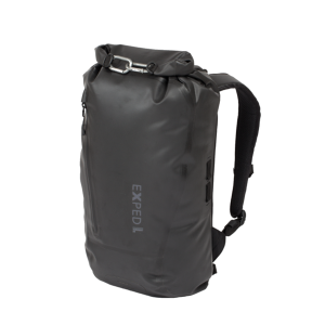
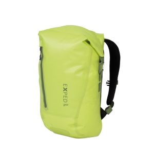
Sometimes a pack cover isn’t enough – you need a fully Waterproof Pack, and that’s where the Exped 20L Torrent comes in. With a roll-top closure and high frequency welded seams, this guy won’t be letting in any rain or splashes, in fact it’ll keep your gear dry in any situation short of total immersion….
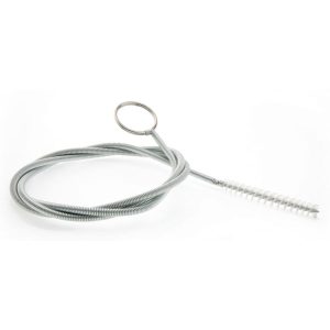
Okay, so every Source stand by their claim that their hydration systems are tasteless + odourless… but that doesn’t mean you don’t have to wash them! Especially if you left the bladder full of orange juice in the sink for three days before you remembered to actually empty it. Source’s tube brush kit will facilitate cleaning…
The Grampians region is one of the most popular destinations in Victoria for bushwalking and outdoor recreation. This detailed topographic map contains the latest road and walking trail networks, and in depth info for walking, overnight hiking, 4WD touring and other recreational activities. The map also includes a detailed inset of the Mount Abrupt and…
These Tasmanian maps are recommended for regional planners and visitors intending to travel a little off the beaten track. The map is popular with drivers, cyclists and people wanting a regional overview of an area. The maps are available in folded and flat form and may be joined together to create an impressive wall map.
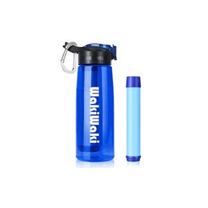
SimPure Filtered Water Bottle with an in-built filter straw. Easy to use for travel, camping, biking and hiking. It has a 4-Stage filter straw within the water bottle and is replaceable.
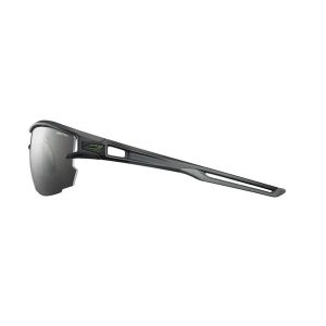
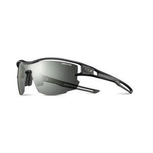
Built for high-performance athletes, the Julbo Aero delivers exceptional comfort without sacrificing function. The single REACTIV photochromic lens provides a wide, unobstructed view, adapting to changing light conditions. The suspended lens design enhances ventilation, while shock-absorbing inserts on the Air Link Temples ensure a lightweight fit with superior grip.
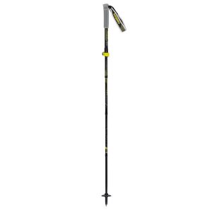
While Masters have a range of sturdy telescopic trekking poles, their trail running models are in the Z-Pole style, shorter and lighter by design. Also perfect for lightweight hikers, The Trecime Aluminium’s 16mm diameter shaft is strong enough for use with a day pack on tricky terrain and the collapsed length of just 35cm will…
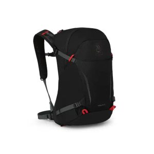
The special-edition, 50th Anniversary Hikelite 26L Daypack commemorates the fine craftsmanship upon which Osprey was founded. If you’re a diehard fan or casual pack collector, this limited release offers a piece of history. Up-spec’d fabrics, sporty aesthetics and accented details make this lightweight and ventilated panel-loader perfect for everyday objectives on the trail. A certified…











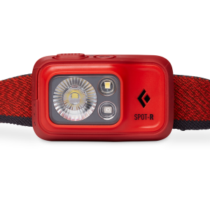 SPOT 400 Lumen Rechargeable Headlamp
  Shoulder Sling