These are the official 1:25 000 scale topographical maps from the NSW government Land & Property Division, covering the most outstanding areas of the state on a well-produced, reversible, fold-out map perfect for hikers.
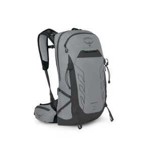
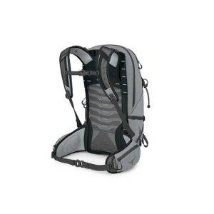
If you want a technical pack that can do it all, reach for the Talon Pro. Whether you’re hauling gear into the alpine or bikepacking solo, this pack is faster, stronger and lighter than ever. A new torso adjustment and premium injection-molded framesheet allow for an enhanced fit across a variety of torso ranges. Pro-worthy…
It may have been been renamed, but the Field MS (formerly Field 7) is still the industry standard compass for schools, scouts and anyone delving into the art of navigation for the first time. The baseplate, rubber grip and common scales will help teach the junior explorer this lifesaving skill. All Silva compasses include a…
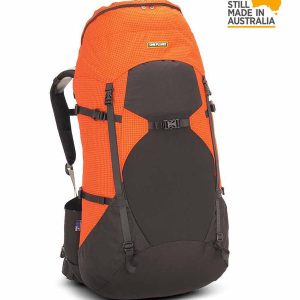
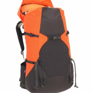
The WBA is a lightweight, full-sized pack that lives up to its moniker: it Weighs Bugger All! This top-loading rucksack has a 65 litre capacity (medium) and is made from Diamondloc with a Cordura nylon base, weighing less while providing functionality through clever design. The EXACT FIT harness is supportive and comfortable both on- and…
It’s a map case! You know, you put maps inside to keep them dry, but you can still read them! Actually it’s more than that. The touchscreen compatible TPU screen means that you could conceivably read a map displayed on your tablet, and manipulate it. And don’t fret – its waterproof rating is IPX7 so…
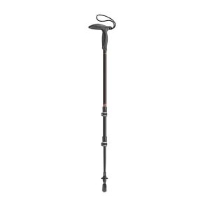
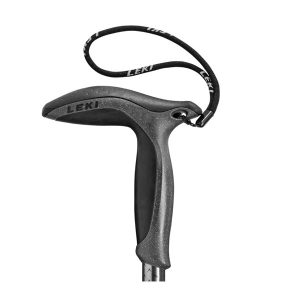
Wanderfreund Makalu Leki hiking pole is made from high-strength aluminium for universal use. For both soft and hard surfaces: with the carbide metal tip or the rubber attachment, it offers safety and stability on every terrain. The Aergomed grip guarantees comfort. Thanks to the Speed Lock 2 system, it can easily be adjusted between 90cm…
A step up from it’s little brother the Field, the Ranger MS is the go-to tool for most map work on the planet. A longer base plate, magnifying lens and luminous markings build on the strengths of the entry-level model to complete this classic compass model. All Silva compasses include a pamphlet explaining their 1-2-3…
These maps highlight the walking tracks and features tourist information along with general topographic detail and is essential for walkers. The notes on the reverse side introduce visitors to the vegetation, land forms, animals, history of the area, bushwalking tips, safety essentials and booking requirements. Scale: 1:100,000.
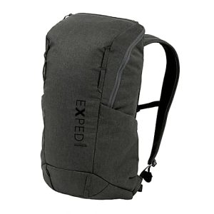
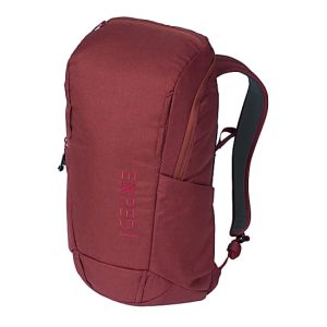
The Centrum 20 by Exped is a versatile large entry commuter pack. The simple, roll-top main compartment with thermo-formed back panel is made of durable and water-repellent polyester and is environmentally-friendly bluesign-certified. The Centrum 20 has a padded laptop compartment and pouches for umbrellas, water bottles or the daily newspaper are placed low on each side.
The Cairns to Broome map has all the the info you need for planning this epic road trip. From national parks maps, to fuel locations, caravan parks, info centres and adventure ideas it has it all. It comes with comprehensive info on amazing attractions along the way, this is THE map to plan a Cairns to Broome…
Hema’s regional map of Mid West Western Australia covers from Cape Range National Park south to Mandurah and as far as Kalgoorlie at a scale of 1:1,250,000 that has camping areas, national parks, fuel supplies and facility symbols marked on the map.











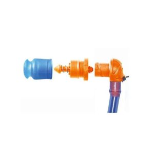 Helix - Valve Kit
 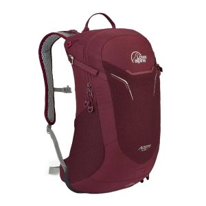 AirZone Active 18