The Ranger S MS is the older brother of the classic Ranger that we know and love. The S model has a large sighting mirror for 45 angle assistance in taking bearings on distant geographical features, and has cut out the magnifying glass in favour of a shorter nose, producing a smaller bundle that snaps…
This is one of a series of excellent guide books from the Cicerone. Their guides are an inexpensive option for hikers heading all over the world looking to explore the world’s best walks and treks, mountains and cycle routes. This book details the Coast to Coast long-distance walking route from St Bees Head in Cumbria to Robin…
It’s a map case! You know, you put maps inside to keep them dry, but you can still read them! Actually it’s more than that. The touchscreen compatible TPU screen means that you could conceivably read a map displayed on your tablet, and manipulate it. And don’t fret – its waterproof rating is IPX7 so…
A thoroughly revised fourth edition of the bestselling Blue Mountains Best Bushwalks is the perfect companion for the bushwalking fan. The book features: 67 different walks, varying in length from 30 minutes to two days, accurate, full colour maps and step by step directions, detailed walk statistics including distance, total ascent/descent, grade and estimated time,…
This is one of a series of excellent guide books from the Confraternity of Saint James, the pre-eminent, London-based organisation supporting pilgrim activities in Europe. Their guides are an inexpensive option for walkers heading to Santiago de Compostela on any of the many routes across Spain, France and beyond. Each book provides directions and details…
John Brierly is one of the acknowledged experts in walking the pilgrim’s route of the Camino Frances, Way of St. James, or Camino de Santiago, in northern Spain. For walkers who do not wish to carry the full guide book, and who only require maps, John has produced this map kit, with full daily stage…
The Grampians region is one of the most popular destinations in Victoria for bushwalking and outdoor recreation. This detailed topographic map contains the latest road and walking trail networks, including the first stage of the new Grampians Peaks Trail, and locations of all the recreation sites in the region. A detailed (1:25,000) map of Halls…
For weekend warriors or local residents alike, this guide introduces the best walks that the Sunshine Coast has to offer, ranging from leisurely beach-side cliff-top strolls to the more rugged bush tracks. Richly illustrated with full-colour photos, this guide features detailed maps and descriptions of the region’s parks, bushland, rivers, coasts and urban areas. Covers…
Hema’s regional map of Mid West Western Australia covers from Cape Range National Park south to Mandurah and as far as Kalgoorlie at a scale of 1:1,250,000 that has camping areas, national parks, fuel supplies and facility symbols marked on the map.
South-East of Tasmania is one of Australia’s most beautiful regions, and with its stunning scenery and iconic walking tracks it is the perfect place to experience and enjoy on foot. This guide contains a diverse range of walks to explore, including strolls around historic villages, hikes through pristine bushland and rambles along the sparkling, unspoiled…
John Chapman and his co-authors spend their lives hiking all over this great land and writing guide books so the rest of us can follow them. Through years of refinement John & Co’s books are well laid-out and colourfully illustrated that detail routes, background, safety, trip planning and further reading.













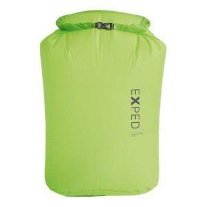 Waterproof Pack Liner UL - Ultralight
 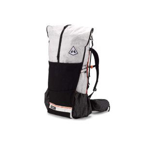 Unbound 55L
  Mont Blanc Walks - Day and Multi Day