This bestselling bushwalking guide is the perfect companion for the experienced Blue Mountains adventurer, the keen bushwalking beginner and the whole family! Written by Veechi Stuart, a former Sydney Morning Herald columnist and true Blue Mountains local, this guide includes something for everyone. Included:
Printed on waterproof tyvek this tough map covers the Snowy Mountains Main Range on one side at 1:25,000 & Guthega to Round Mountain including Mt Jagungal on the other at 1:50,000 with amazing detailed representation with 10m contour intervals. Also with detailed insets of Watsons Crags, Dead Horse Gap, Blue Lk, Lady Northcote Canyon & marginal…
If you’re looking to explore the main range of Australia’s gorgeous Kosciuszko National Park, this is the book for you. An awesome full-colour guide of over 40 of the best walks in the Snowy Mountains, written by Matt McClelland, founder of the widely popular online resource WildWalks. The book includes maps, easy-to-follow instructions and info…
The ACR ResQlink 400 Personal Locator Beacon is a small, lightweight and buoyant personal locator beacon. Engineered with military durability and equipped with ResQlink’s satellite precision this unit will not let you down if or when you need it most. You can trust this unit in any environment be it land, sea or sky to…
All the mapping you need to complete the 95 mile (153km) West Highland Way, an official Scottish Long Distance Route from Milngavie near Glasgow to Fort William. Showcasing the wild beauty of western Scotland, the trail is a journey from the lowlands to the highlands, passing Loch Lomond then crossing Rannoch Moor before finishing in…
Looking to do some fun stuff in the Wilsons Promontory region This is the map for you! This map features detailed walk descriptions, including day walks such as the Lilly Pilly Gully, Mt. Oberon and Obern Bay, and overnight walks including Southern Prom and Northern Prom walks. Information on other fun recreational activities including camping,…
The Expedition now has a sighting mirror! Silva’s Expedition S retains the rugged Dryflex housing, magnetic declination adjustment screw and numerous scale markers of it’s progenitor, but now includes a crystal clear mirror hidden in a defensive case. A must have for the intrepid bush-basher. All Silva compasses include a pamphlet explaining their 1-2-3 map-reading system…
Hema’s regional map of Mid West Western Australia covers from Cape Range National Park south to Mandurah and as far as Kalgoorlie at a scale of 1:1,250,000 that has camping areas, national parks, fuel supplies and facility symbols marked on the map.
The Grampians region is one of the most popular destinations in Victoria for bushwalking and outdoor recreation. This detailed topographic map contains the latest road and walking trail networks, and in depth info for walking, overnight hiking, 4WD touring and other recreational activities. The map also includes a detailed inset of the Mount Abrupt and…
Best Walks of NSW Mid North Coast covers the mid-north of NSW from south of Port Macquarie to Yamba and boasts a huge range of beautiful environments, making the region perfect for exploring on foot. This book introduces the best walks for visitors and residents alike, ranging from leisurely cliff-top and beach strolls to the…
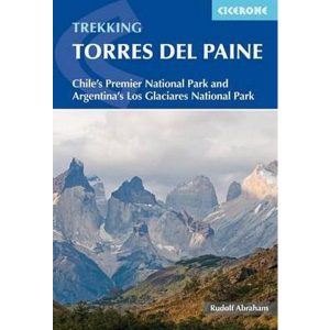
This excellent Cicerone guidebook to walking and trekking in Chile’s Torres del Paine National Park and Argentina’s Los Glaciares National Park, areas of Patagonia. Eight different walks and treks are described, including the 10-11 day Torres del Paine Circuit, one of the world’s great treks, as well as the shorter Half Circuit (4-5 days). The guide…
The Ranger S MS is the older brother of the classic Ranger that we know and love. The S model has a large sighting mirror for 45 angle assistance in taking bearings on distant geographical features, and has cut out the magnifying glass in favour of a shorter nose, producing a smaller bundle that snaps…














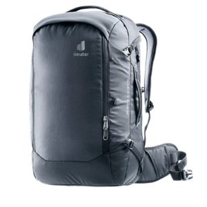 Aviant Access 38L Travel Backpack
  Mont Blanc Walks - Day and Multi Day