It may have been been renamed, but the Field MS (formerly Field 7) is still the industry standard compass for schools, scouts and anyone delving into the art of navigation for the first time. The baseplate, rubber grip and common scales will help teach the junior explorer this lifesaving skill. All Silva compasses include a…
This is one of a series of excellent guide books from the Confraternity of Saint James, the pre-eminent, London-based organisation supporting pilgrim activities in Europe. Their guides are an inexpensive option for walkers heading to Santiago de Compostela on any of the many routes across Spain, France and beyond. Each book provides directions and details…
John Brierly is one of the acknowledged experts in walking the pilgrim’s route of the Camino Frances, Way of St. James, or Camino de Santiago, in northern Spain. For walkers who do not wish to carry the full guide book, and who only require maps, John has produced this map kit, with full daily stage…
The Grampians region is one of the most popular destinations in Victoria for bushwalking and outdoor recreation. This detailed topographic map contains the latest road and walking trail networks, including the first stage of the new Grampians Peaks Trail, and locations of all the recreation sites in the region. A detailed (1:25,000) map of Halls…
It’s no good having a map if it’s all soggy – contour lines tend to blur, transforming gentle slopes into towering cliffs. Avoid such topographical catastrophes by protecting your map in this practical map case. The welded design will protect paper from water and dust, and the TPU (thermoplastic polyurethane) is UV resistant and folds…
Six Foot Track Map, Informative map covering the 46km long trail from Katoomba to Jenolan Caves. Shows intermediate distances, campsites, facilities and extensive track notes. A NSW Government publication. This map can be laminated and refolded for extra durability in the field.
This Cicerone guidebook presents 75 day walks of 1 to 26km in South Africa’s Maloti-Drakensberg Park, a UNESCO World Heritage Site. Located in KwaZulu Natal and easily accessible from Johannesburg, Harrismith, Pietermaritzburg and Durban, the region boasts dramatic cliffs, gorges and waterfalls, abundant wildlife and 2000 year old rock paintings.
John Chapman and his co-authors spend their lives hiking all over this great land and writing guide books so the rest of us can follow them. Through years of refinement John & Co’s books are well laid-out and colourfully illustrated that detail routes, background, safety, trip planning and further reading.
A comprehensive map of Victoria for touring throughout the state that has camping and rest areas, 24-hour fuel and points of interest marked on the mapping. On the reverse are CBD, the surrounding region and through road maps of Melbourne in addition to maps of the Great Ocean Road and East Gippsland. Also included is…
John and Monica Chapman spend their lives hiking all over this great land and writing guide books so the rest of us can follow them. Through years of refinement their range of books offer insightful observations and background on numerous trails across Australia. John and Monica’s books are well laid-out, colourfully illustrated and provide extensive information…
Guidebook to the Pennine Way National Trail with OS map booklet. The 265 mile route from Edale to Kirk Yetholm takes three weeks to walk and is suitable for fit and experienced long distance walkers. The route crosses the Peak District, Yorkshire Dales and North Pennines National Parks. Includes separate OS 1:25,000 map booklet of…














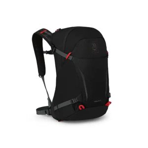 Hikelite 26 Anniversary Edition
  Camino Del Norte & Camino Primitivo Pilgram Route