Garmin GPSMAP 65S Handheld GPS Device
$115.67The Garmin GPSMAP 65S is a multi-band/multi-GNSS handheld device with sensors.

Showing 37–48 of 95 results


The Garmin GPSMAP 65S is a multi-band/multi-GNSS handheld device with sensors.

Hema’s map of the Northern Territory that has camping and rest areas, 24hour fuel and points of interest. On the reverse are through road maps of Darwin and Alice Springs, and a map of the greater Darwin region. For trip planning, there is a national park matrix and contact details for information centres.

A compact map of Queensland (QLD) at a scale of 1:2,500,000 from Hema, for touring throughout the state which features highways, major roads and minor roads. Marked on the map are national parks, camping areas, caravan parks, rest areas, points of interest and 24-hour fuel accompanied by a distance grid and an index.

These light but strong polymer waterproof bags from Lifeventure will protect anything you care to put in them from water damage, scratching, religious conversion etc. The press-seal LocTop is rated to IPX8, that submersible up to 10m for 30 minutes. The small pack comes with three different sized bags for different valuables such as camera,…

This Cicerone guidebook gives stage-by-stage directions for the Central Camino, starting from Lisbon, Porto or Tui, the Coastal Camino between Porto or Vigo, and the Spiritual Variant route from Pontevedra to Redondela. It also describes link routes that can be used to swap from one route to another. Detailed route guidance and maps are accompanied…

These are the official 1:25 000 scale topographical maps from the NSW government Land & Property Division, covering the most outstanding areas of the state on a well-produced, reversible, fold-out map perfect for hikers.


It’s no good having a map if it’s all soggy – contour lines tend to blur, transforming gentle slopes into towering cliffs. Avoid such topographical catastrophes by protecting your map in this practical map case. The welded design will protect paper from water and dust, and the TPU (thermoplastic polyurethane) is UV resistant and folds…


All the mapping you need to complete the 95 mile (153km) West Highland Way, an official Scottish Long Distance Route from Milngavie near Glasgow to Fort William. Showcasing the wild beauty of western Scotland, the trail is a journey from the lowlands to the highlands, passing Loch Lomond then crossing Rannoch Moor before finishing in…

It may have been been renamed, but the Field MS (formerly Field 7) is still the industry standard compass for schools, scouts and anyone delving into the art of navigation for the first time. The baseplate, rubber grip and common scales will help teach the junior explorer this lifesaving skill. All Silva compasses include a…

Five walks in and around Jervis Bay, New South Wales suitable for all ages.

A handy and detailed guild to every walking trail in the Central Coast region


Produced by the Department of Lands, this six map kit covers the entire length of the Great North Walk. With details not featured on standard topo maps like convenient camp spots, train stops, drinking water, points of interest and more. It also has a load on insightful info on the back of the maps so…
End of content
End of content
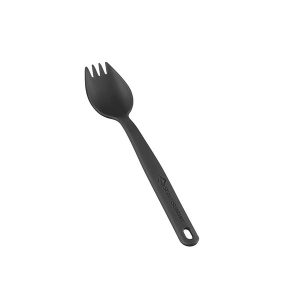 Camp Cutlery Spork
1 × $46.10
Camp Cutlery Spork
1 × $46.10 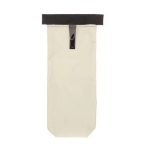 Hydration Bladder Holder Insert
1 × $53.19
Hydration Bladder Holder Insert
1 × $53.19  Odins Last Rune - Coast to Coast
1 × $53.25
Odins Last Rune - Coast to Coast
1 × $53.25 Subtotal: $152.54