Cicerone guide details the Camino del Norte and Camino Primitivo pilgrim routes. The Camino del Norte covers 820 kms and takes you from Irún via Bilbao and Santander takes around 5 weeks to complete. The 355km Camino Primitivo takes about 2 weeks. The book also includes the Camino Finisterre from Santiago to the coast.
This is one of a series of excellent guide books from the Cicerone. Their guides are an inexpensive option for hikers heading all over the world looking to explore the world’s best walks and treks, mountains and cycle routes. This is a guide to walking the John Muir Trail through California’s High Sierra from Yosemite (El Capitan and…
The design of the Tasmap 1:50 000 Map Series provides a clear and accurate portrayal of topographic information, with symbols and map content giving enhanced depiction of buildings, hill shading and a simplified classification of vegetation.
John Chapman and his co-authors spend their lives hiking all over this great land and writing guide books so the rest of us can follow them. Through years of refinement John & Co’s books are well laid-out and colourfully illustrated that detail routes, background, safety, trip planning and further reading.
A walker’s guide to the Bogong High Plains, Mt Bogong, Mt Feathertop and Mt Buffalo by Glenn van der Knijff. With its unique user-friendly layout, Victoria’s Bogong High Plains will become an essential reference guide for all walkers. This full-colour, 96 page walking guide is produced in a handy A5 format. Includes
All the mapping you need to complete the 95 mile (153km) West Highland Way, an official Scottish Long Distance Route from Milngavie near Glasgow to Fort William. Showcasing the wild beauty of western Scotland, the trail is a journey from the lowlands to the highlands, passing Loch Lomond then crossing Rannoch Moor before finishing in…
These are the official 1:25 000 scale topographical maps from the NSW government Land & Property Division, covering the most outstanding areas of the state on a well-produced, reversible, fold-out map perfect for hikers.
Victoria’s multi-day Great Ocean Walk covers 100 kilometres of spectacular scenery and varied hiking from Apollo Bay, around the famous Cape Otway and through to the world famous Twelve Apostles. The route follows the Shipwreck Coast, beside the wild Southern Ocean, as it takes in remote beaches, breath taking views at every turn, unbridged river…
This touring map traverses Australia from Melbourne to Adelaide (1:900,000) and features an inset map of the Great Ocean Road (1:450,000). The latter map pinpoints significant locations along the route with tourist information attached and is accompanied by other useful information to illuminate the journey. Through-road maps of Melbourne to Adelaide are also included.
The ACR ResQlink 400 Personal Locator Beacon is a small, lightweight and buoyant personal locator beacon. Engineered with military durability and equipped with ResQlink’s satellite precision this unit will not let you down if or when you need it most. You can trust this unit in any environment be it land, sea or sky to…
Journey along dramatic escarpments, across gorgeous rivers and through remote bushland on one of Australia’s historic long-distance walks: The Six Foot Track. This full-colour guide outlines all the info you’ll need to tackle this 44km Blue Mountains classic, including maps, estimated times, details on historic points-of-interest, possible accommodation along the hike and even public transport…



















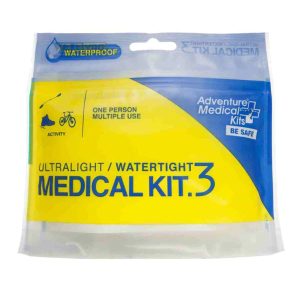 Adventure Medical Kits Ultralight and Watertight 3
  Womens Distance Carbon FLZ Poles
 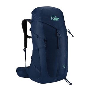 AirZone Trail ND 32
  Ranger S Ms